The Azores Islands are directly past the Strait of Gibraltar, the exit from the Mediterranean Sea and which was, in ancient times, marked by the two mountains known as the Pillars of Hercules. They are merely the tips of a chain of underwater mountains rising 10 yds (9,000 m). They are part of the Mid-Atlantic Ridge, which is a tectonic plate boundary, aligned north-south for 10,936 mi (17,600 km).
There are several rivers on the Azores, and hydrographic surveys have shown that, if the land around the Azores was above sea level, there would be several large river valleys. The rivers would all come together in a massive river valley, conforming to Plato's Atlantean plain in all respects. The Azorean continent would be as big as Plato stated (as big as Plato thought north Africa and Asia combined were). The re is just one problem with this theory.
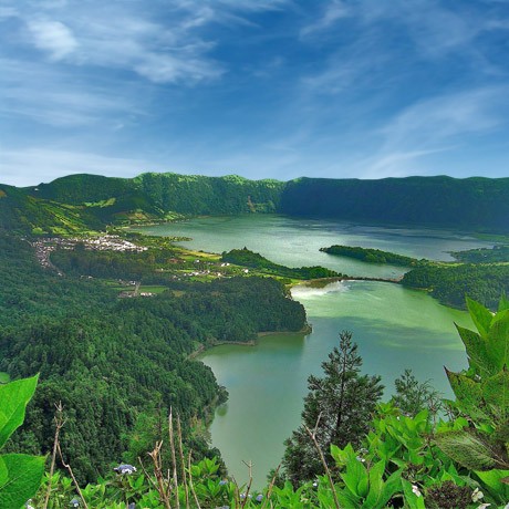
The islands were discovered twice in known history. The first time was by 3rd century B. C. Carthaginian vessels. The second time was by Portuguese navigators in 1427. There has never been any sign of an indigenous culture on the island. The plants in the picture above are not native. There is, in fact, no native flora or fauna in the Azores. And although Plato stated that Atlantis was the size of northern Africa and Asia combined, in the Critias he stated that it is much smaller. It is more likely that he meant the territory of Atlantis, not the size of the island.